California Faces Record Low Snowpack Amidst Heat Wave
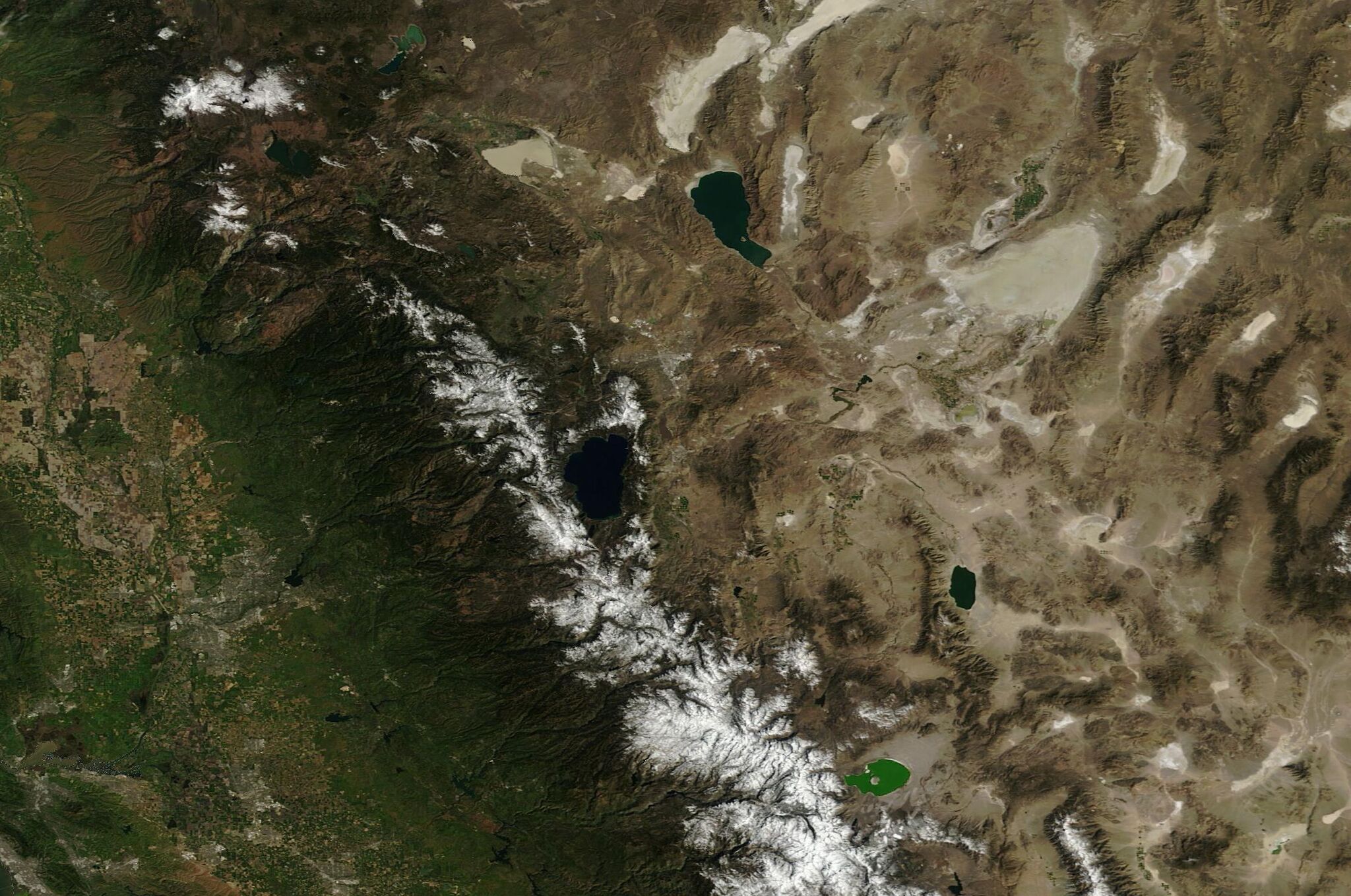
California is currently experiencing a significant drop in its snowpack, threatening to reach record low levels due to a phenomenon referred to as a “snow-eater heat wave.” This unusual weather pattern is rapidly melting the remaining snow, posing significant concerns for water availability and overall ecological stability.
Impact of Early Warm Temperatures
Record-breaking March temperatures have soared into the 60s and 70s, leading to the early closure of several Sierra Nevada ski resorts. Within a mere ten days of this heat wave, nearly every snow-measuring station across the Sierra has reported a loss of over a foot of snow. Such rapid melting raises alarms about the condition of the state’s snowpack, which is crucial for water resources.
Snow Water Equivalent: A Critical Measure
Hydrologists are closely monitoring the snow water equivalent, which indicates how much liquid water is stored in the snowpack, should it melt completely. Mike Hittle of the National Weather Service’s California-Nevada River Forecast Center noted that this measurement has seen an unprecedented decline this March. “A melt of this rate is a big deal any time, but in March, it’s unheard of,” Hittle stated during a recent interagency drought webinar.
At the UC Berkeley Central Sierra Snow Lab, located near Donner Summit, the area has lost nearly an inch of snow water equivalent per day from March 14 to 24. According to climate scientist David Simeral from the Desert Research Institute, the current snowpack levels are abnormally low for this time of year, with the region typically at peak snow conditions.
Early Peak Snowmelt
Danger to Recreational Activities
Hittle observed that peak snowmelt is occurring nearly two months earlier than usual across most of California. This potentially dangerous situation has led to swollen creeks, streams, and rivers, which now pose risks for outdoor enthusiasts and recreationists.
As temperatures remain high, the snowpack on April 1 could potentially match or even surpass the lows recorded in 2015. This date is significant for state officials as it marks a crucial point for assessing California’s water supply and drought conditions.
A Dramatic Shift Since February
Just a short time ago, on February 24, a massive snowstorm had pushed California’s snowpack to within three-quarters of normal for that date, equating to 61% of the expected snowpack for April 1. However, a warm late-February “Pineapple Express” began melting the snow, which has drastically accelerated as the recent heat wave took hold.
Future Outlook: Hope on the Horizon?
While the current outlook appears grim, forecasts for late March and early April suggest a meteorological pattern shift that could offer some respite. National Weather Service meteorologist Brad Pugh recently stated, “Much cooler temperatures with high-elevation snow are expected.”
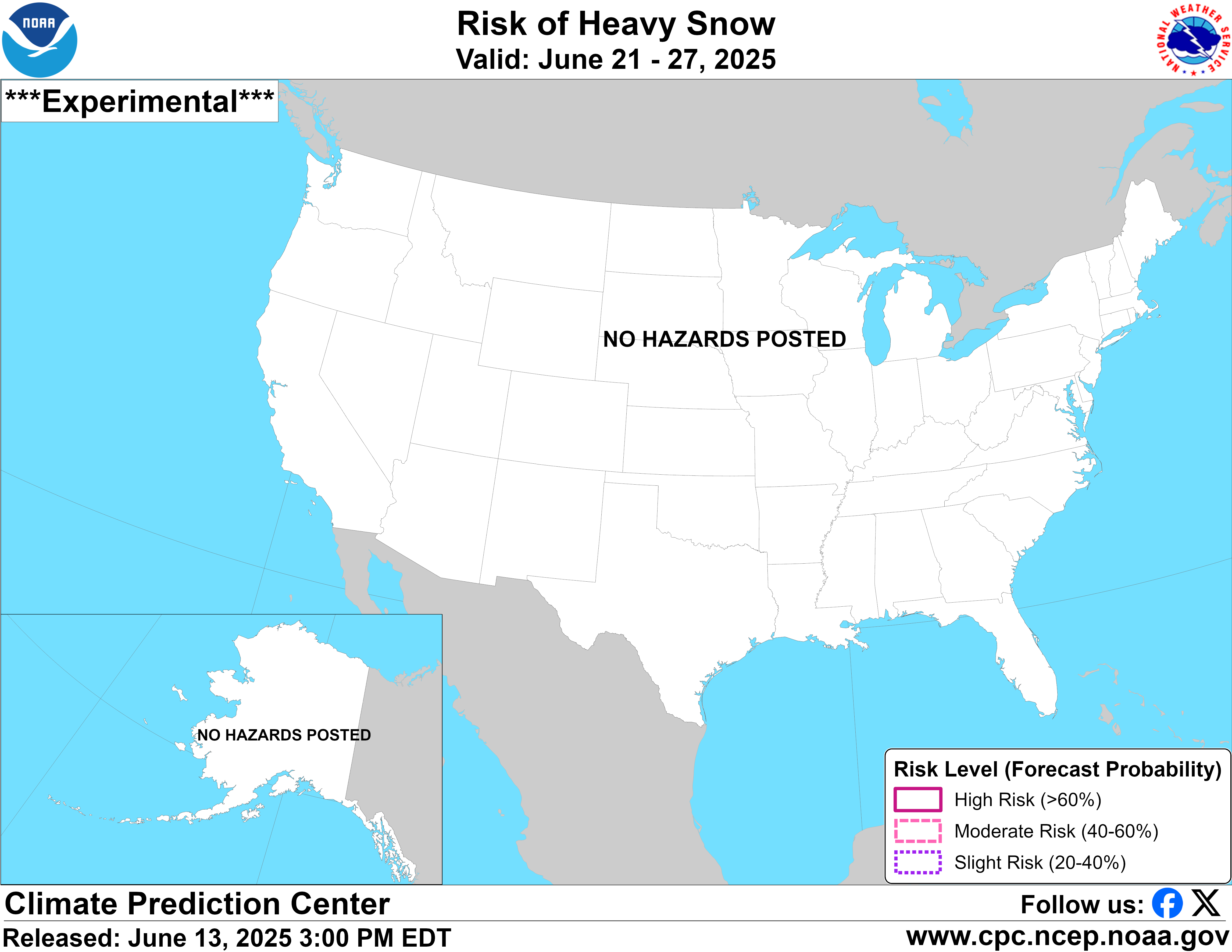
The Climate Prediction Center has even indicated a “slight risk of heavy snow” occurring in the Sierra Nevada region from April 1 to 2. However, Andrew Schwartz, the director of the Berkeley snow lab, cautioned that the timing of any incoming storm will significantly influence snowpack recovery efforts.
Conclusion
As California navigates this precarious climatic situation, the combination of record low snowpack, rapid melting, and heightened risks for outdoor activities presents a multifaceted challenge. The potential for colder weather and snow in the coming days offers a sliver of hope, yet recovery of the snowpack to normal levels remains statistically improbable. Continued monitoring and responsible water management will be essential as the state assesses its future water supply.